 Pinterest of the day
доска «History»enWorldwide
Vivid Maps: History
The Vivid Maps history board: from the Fertile Crescent around 7500 BCE to twentieth-century Europe, with sections by era and more than 150 maps.
17 finds
Pinterest of the dayThe Vivid Maps history board: from the Fertile Crescent around 7500 BCE to twentieth-century Europe, with sections by era and more than 150 maps.
 Site of the day
Red Blob Games explains algorithms through game examples — A* pathfinding, hex grids, map generation from noise — with interactive diagrams you can drag and tweak.
 Brazil of the day
A virtual museum of images of Brazil from the 1500s to the 1920s: prints, watercolors, paintings, maps and scientific illustrations from four major Brazilian collections. In Portuguese.
 Telegram of the day
An English-language feed pulling together official reports on M4.5+ earthquakes, volcanic ash and tsunami bulletins from USGS, volcano observatories, tsunami warning centres and VolcanoDiscovery.
 Netherlands of the day
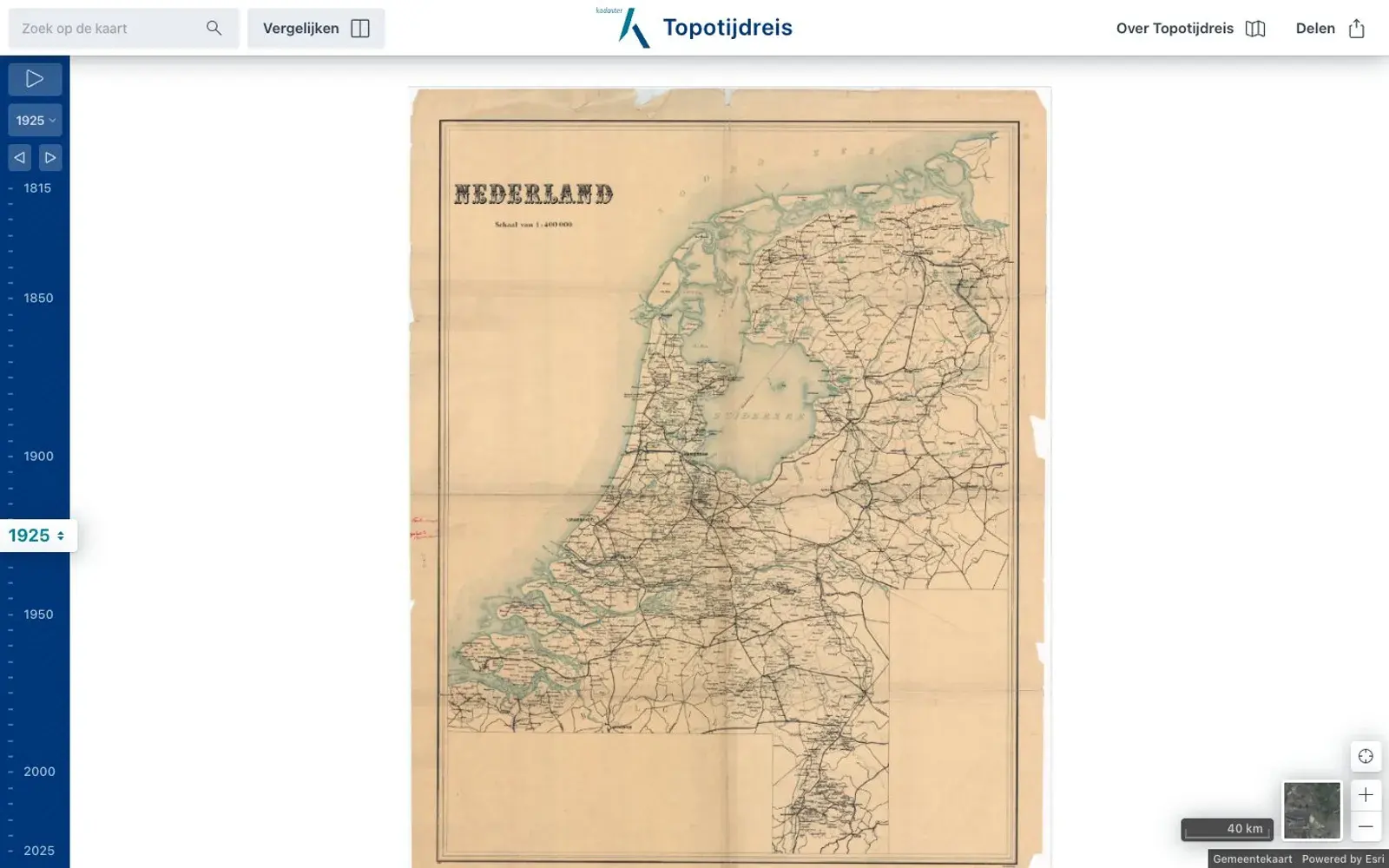
A map of the Netherlands with a year slider, from Napoleonic-era surveys in 1815 to aerial photos of the 2020s. Watch sea turn into polder and villages into cities.
 Türkiye of the day
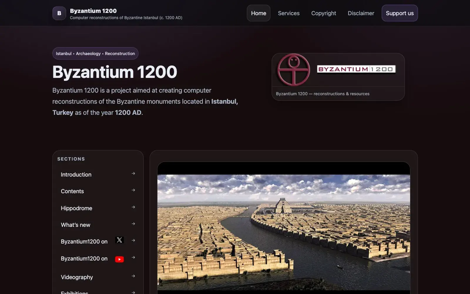
Byzantium 1200 rebuilds Byzantine Constantinople in 3D: Hagia Sophia, the Great Palace, the Hippodrome with every known statue, and the city walls.
 Pinterest of the day
Sixty antique maps gathered by Europeana from libraries and archives across Europe, from medieval Britain to Blaeu's atlases.
 Site of the day
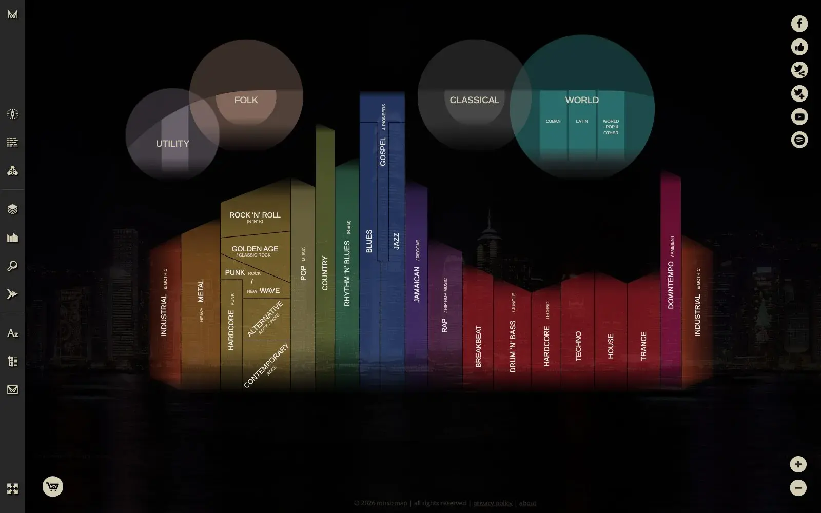
Musicmap lays out popular music as one giant chart — from blues and gospel to techno and emo — on a timeline from the 1880s to the 2020s, showing what grew out of what.
 Site of the day
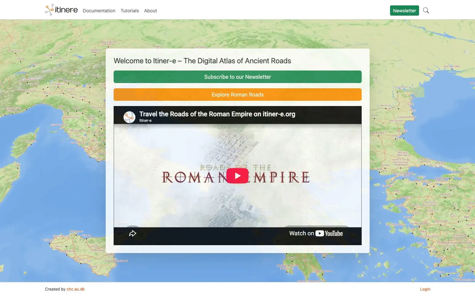
The most detailed open atlas of Roman roads: an interactive map of the whole empire where you can plot a route like an ancient traveler. A research project that's free to explore.
 Instagram of the day
Brilliant Maps posts quirky thematic maps several times a day: Europe as the Vikings saw it, a clan map of Ireland, countries without passenger trains.
 Instagram of the day
Daily Overview posts satellite images with exact coordinates: Brazilian dunes, central Rome, desert cities. Each frame looks like abstract art until you read the caption.
 Mexico of the day
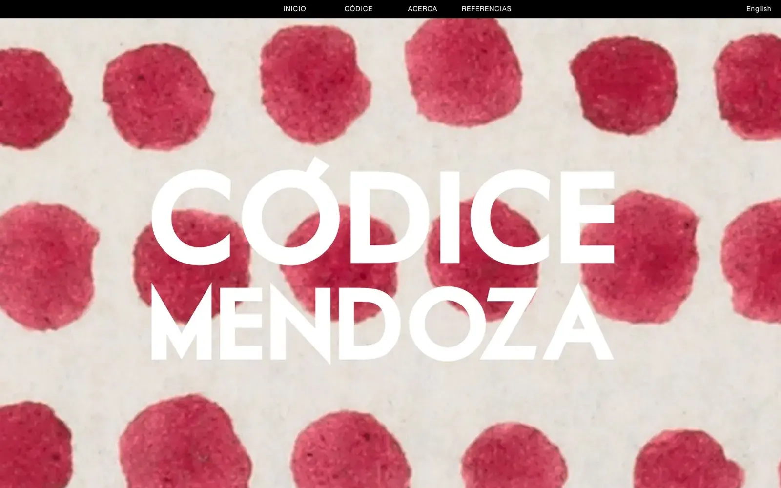
Mexico's national anthropology institute turned an Aztec codex into an interactive edition: zoomable pages, glyph explanations, transcriptions, maps and a timeline.