Vivid Maps: History
The Vivid Maps history board: from the Fertile Crescent around 7500 BCE to twentieth-century Europe, with sections by era and more than 150 maps.

What it is
Vivid Maps is a site about maps and data visualization: thematic maps, infographics and historical atlases. On Pinterest it runs dozens of boards by region and topic, and "History" is among the richest. It has more than 150 pins in the main feed plus sections by era: Prehistory, Pre-modern history (1-1299), Early modern history (1300-1799), Late modern history (1800-1945), Contemporary history (1946 to the present), and a separate section of animated maps.
Each pin is a historical map with a caption, and a click opens the Vivid Maps article with an explanation. The range is huge. The Fertile Crescent around 7500 BCE. The population of the Han empire in 2 AD. A political map of the world in 200 AD. The Eastern Hemisphere in 633 and 1066. Europe at the death of Charlemagne in 814. The Anglo-Saxon kingdoms around 800. Medieval trade networks. Polynesian migration routes from Taiwan to New Zealand. European colonial shipping lanes. The changing shoreline of New York City.
Why we picked it
History sticks best when you see it on a map. "The empire collapsed" means little; a map of Europe before and after shows it at once. The Vivid Maps board gathers those maps in one place, and not only the textbook ones. There are Roman coins and hoards found in northern Europe, Ptolemy's coordinate system that mapped thousands of places in the second century, and Europe's ruling royal families in 1914 traced to their origins.
The board is alive. It has been fed for years, the latest update came in July 2026, and some pins were added in 2025. The era sections make it easy to use: you can move through history in order instead of scrolling everything at once.
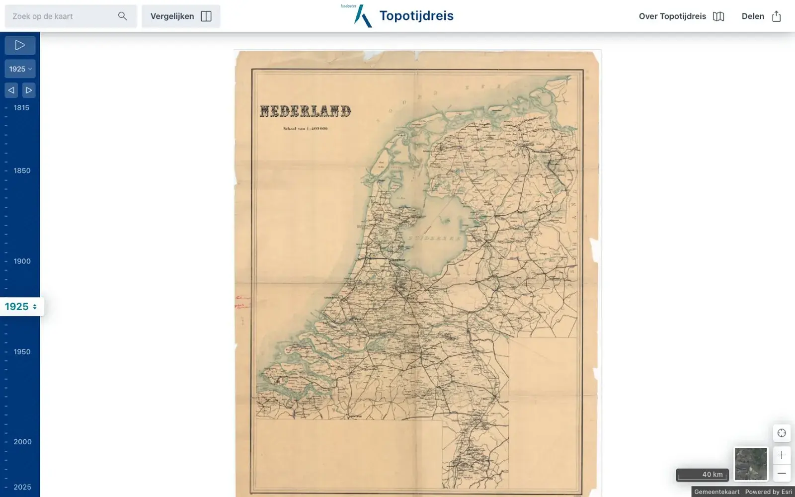
Many of the maps are historical documents in their own right: old atlases, "A New Chart of History", early twentieth-century maps. Read them as sources from their time rather than modern reference, which is an interesting lesson in how views of the world have shifted.
Where to start
- Open Prehistory for the earliest civilizations and the Fertile Crescent.
- In Pre-modern history, look for the Roman Empire, Charlemagne and the world in 1066.
- Find the trade maps, from medieval networks to colonial shipping lanes.
- Visit the animated maps section and watch borders change before your eyes.
- If you like the format, the Vivid Maps profile has regional boards for Africa, Asia, the Arctic and Antarctica.
Who it's for
History fans, teachers and students who need a clear map for a topic, and writers and game designers looking for inspiration for their own worlds. Remember that some old maps reflect the views of their era, and pins on twentieth-century political history are best read in context.
Quick answers
How many maps are there? More than 150 pins in the main feed, plus the era sections.
Is this the official Vivid Maps account? Yes. The board is on the vividmaps profile, and the pins link to the project's site.
How is it organized? Chronologically, from prehistory to the present, plus animated maps.