City Roads
Type a city's name and the site draws every single road in it at once, in fine lines. The result is a striking portrait you can recolour and download.
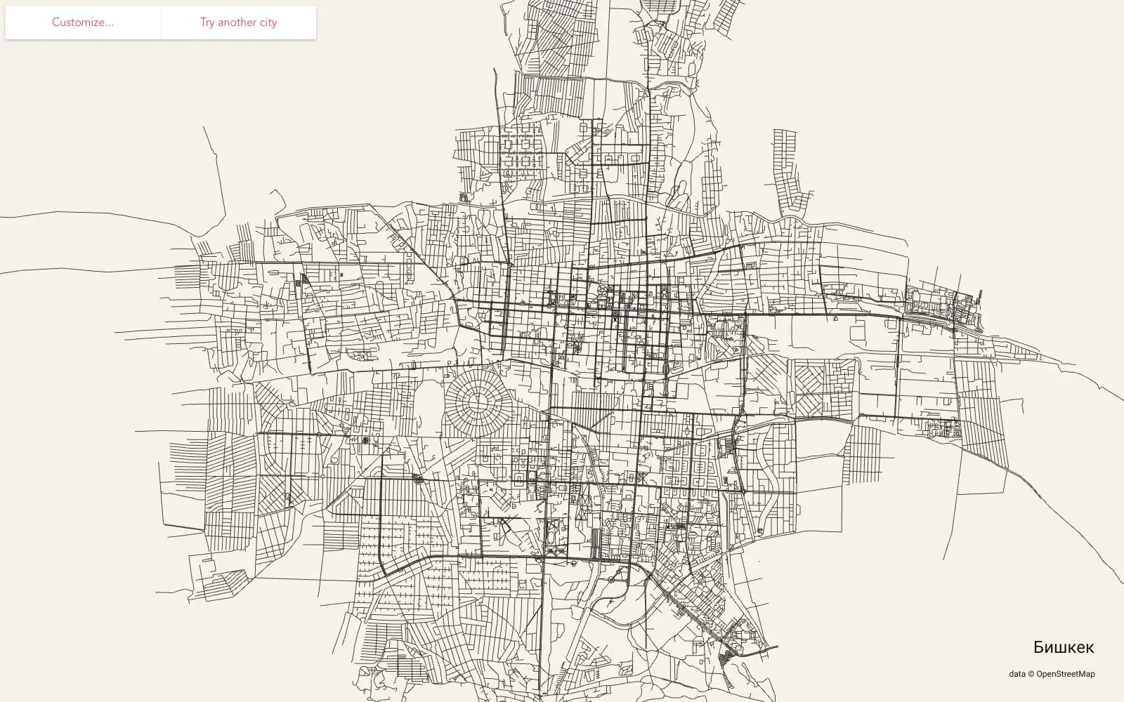
What it is
City Roads is a small, single-purpose web tool. Type in a city, pick the right boundary from the matches, and within seconds every road in it appears on screen — from main avenues down to side streets and courtyard lanes. Nothing else: no buildings, no street names, no rivers. Just a web of lines that suddenly reveals how the city is put together. The data comes from OpenStreetMap and it's rendered with WebGL.
Why we picked it
A regular map is cluttered; here a city looks like a fingerprint. You immediately see where streets grew organically and where someone ruled them out on paper. Compare a medieval core with a planned district, Paris with New York, Barcelona with Venice, or the old centre of Bishkek with its Soviet-era microdistricts. It's an urbanism lesson and a piece of graphic design at the same time. The Customize menu lets you change the colours of the lines, background and label, and the export options save the view as PNG or vector SVG — easy to turn into a wall poster or a gift. It was made by an independent developer who goes by anvaka, and the source code is open.
Where to start
- Enter your city and choose its administrative boundary.
- Open Customize and play with colours — light lines on a dark background look great.
- Compare two cities with very different histories.
- Export your favourite as SVG if you want to print it large.
Who it's for
Map and city lovers, urbanists, architects, designers looking for a background or poster, and travellers who want a keepsake of a place they've been.
Quick answers
Where does the data come from? OpenStreetMap — the site downloads every road inside the chosen boundary.
Do big cities take long? They can; the site warns that large cities may need 200MB+ of data and a powerful device.
Can I save the image? Yes, as PNG or as vector SVG.