Theban Mapping Project: the Valley of the Kings, mapped
An interactive atlas of the Theban necropolis in Egypt: tomb plans for the Valley of the Kings and Valley of the Queens, photos, excavation history and a bibliography for every tomb.
What it is
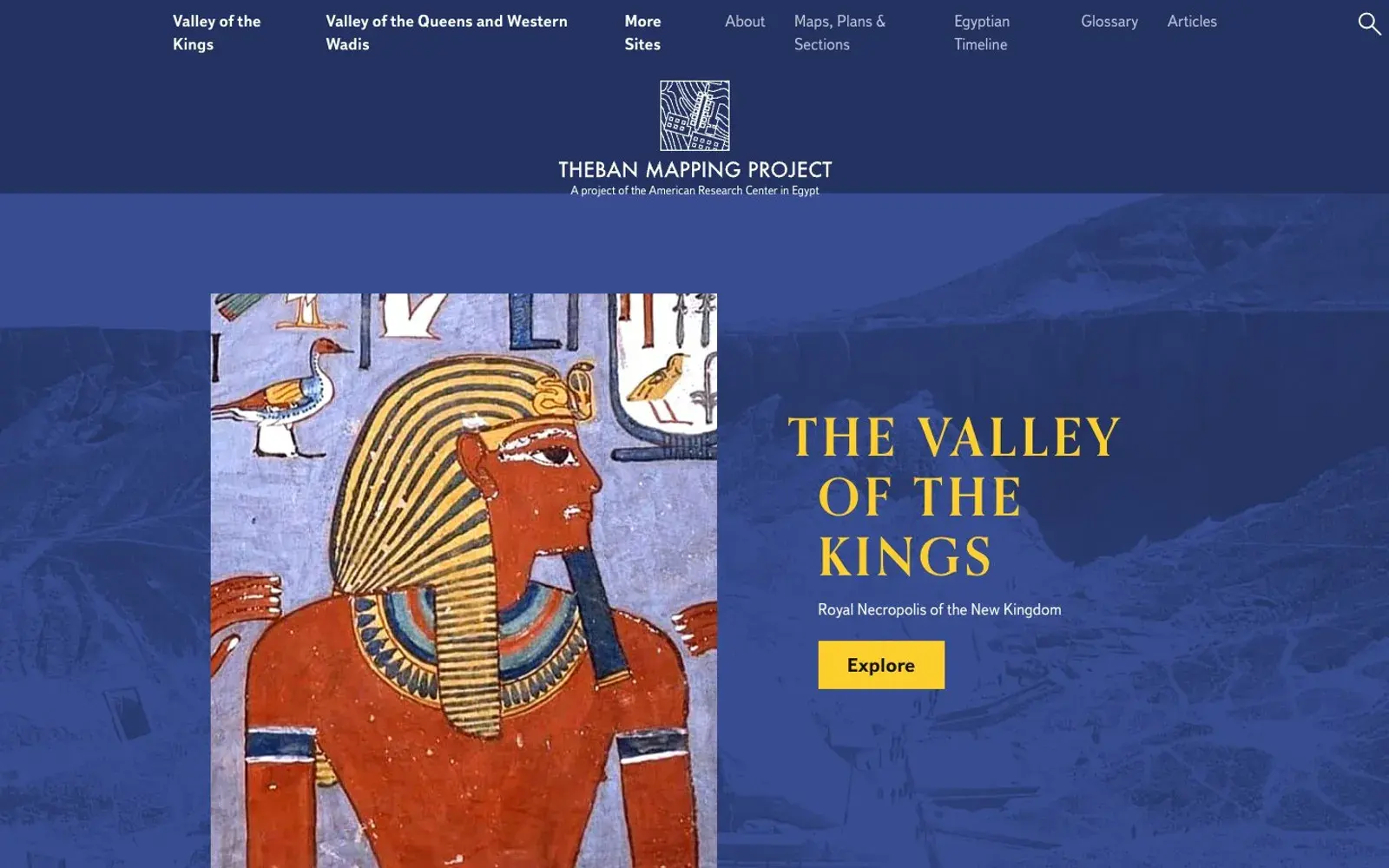
The Theban Mapping Project is an archaeological project that has been mapping the Theban necropolis on the west bank of the Nile, across from Luxor, since 1978. Its website is a detailed interactive atlas covering three areas: the Valley of the Kings, the Valley of the Queens and the Western Wadis, and the dig houses where generations of Egyptologists lived while working there.
Each tomb has its own page with tabs for the plan, description, gallery, articles and bibliography. For Tutankhamun's tomb, KV 62, you can walk the plan from the entrance down the corridor to the burial chamber and read about the scenes painted on its walls. The page also explains why the tomb stayed hidden for three thousand years: its entrance was buried under construction debris, and workmen's huts were later built on top.
Why we picked it
Most people know the Valley of the Kings from a handful of famous photos. Here the whole valley opens up: more than sixty tombs, from KV 1 to KV 63, including unnamed ones, the "Gold Tomb" and burials of animals such as baboons, dogs and birds. It becomes clear how much of the valley is still a puzzle.
We like the tone. The writing is calm and grounded in sources, and contested ideas are labelled as such. The theory that Nefertiti might lie behind a wall of Tutankhamun's tomb, for instance, is presented as unconfirmed.
The site is still updated; in November 2025 it published a piece marking a century of Tutankhamun discoveries.
Where to start
- Open The Valley of the Kings and go to KV 62 Tutankhamen.
- Click through the tomb plan, corridor by corridor and chamber by chamber.
- Visit KV 9, the tomb of Rameses V and Rameses VI, currently the featured tomb.
- Browse the dig houses section for a look at archaeologists' daily life.
Who it's for
Anyone fascinated by ancient Egypt. Travellers heading to Luxor, since the site itself suggests using it as an on-the-ground guide. History teachers and students. And people who simply love a good map or floor plan.
Quick answers
What language is the site in? English.
Is it a tour company? No, it is a research project focused on documenting and preserving the sites.
Is it free? Yes, the atlas is open to everyone with no sign-up.