PastVu: old photos on a map
A world map dotted with historical photos: pick a place and a range of years and see what the street looked like a century ago. Over two million images.
What it is
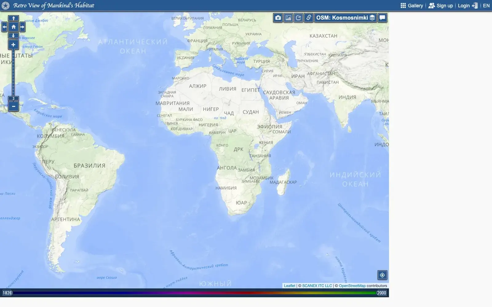
PastVu is a community archive of historical photographs, each one pinned to the exact spot where it was taken. Open the map, zoom into a city or a single block, and you get little markers for every photo shot there. A year slider above the map currently runs from 1826 to 2000, and you can narrow it to, say, a single decade. You can also switch on paintings and drawings, and besides standard map and satellite layers there is even a layer of WWII-era aerial photography.
Users upload the pictures themselves, and according to the project's own news there are now more than two million of them. Every photo has a comment thread where people pin down the year, argue about the paving and remember what stood where the mall is today.
Why we picked it
It is a time machine with no special effects. The idea carries it: an old photo sits exactly where the photographer stood. Scroll to your own street and suddenly there is a tram line, wooden houses and shop signs nobody remembers. The comments are half the fun: regulars date a postcard from a lamppost shape or a house number more precisely than most catalogs. Heads-up: this is a Russian project. The interface has an English mode, but most photos are from the former Soviet Union and most captions and comments are in Russian, so a browser translator helps.
Where to start
- Hit "My location" and see what was photographed near you.
- Set the slider to 1900–1920 and wander through the center of any big city.
- Try the "Where is this?" section, where people ask for help identifying places.
- Browse the latest comments for the liveliest threads.
- If your family album has street shots, you can upload them.
Who it's for
Local history buffs, urban walkers, people writing about their neighborhood, and anyone who has ever wondered what used to be on this corner.
Quick answers
Do I need an account to browse? No, the map and photos are open. You need an account to upload and comment.
Is it only Russia? No, the map covers the whole world, though the densest coverage is in former Soviet cities.
Where do the photos come from? Users upload them from family archives, old postcards and personal collections.