 Site of the day
davidrumsey.comenWorldwide
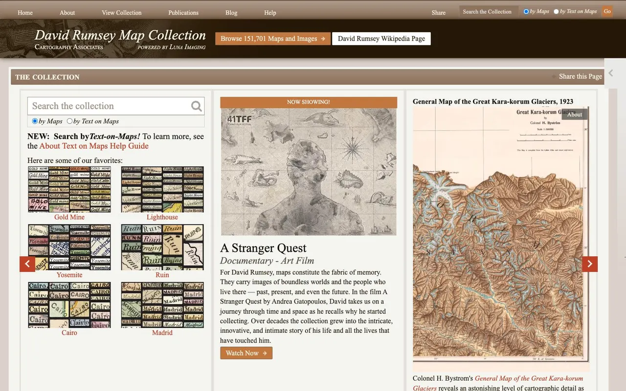
David Rumsey Map Collection
A huge online collection of historical maps, atlases and globes — over 150,000 images you can explore in high resolution.
Historical maps used to live in reading rooms. Now the biggest collections are online, in high resolution and free to browse — and some of them let you slide through time over the same place.
These are the archives we picked for foundaday. Start with the David Rumsey collection if you want sheer size; pick a time-slider map if you want to see one country change.
Site of the dayA huge online collection of historical maps, atlases and globes — over 150,000 images you can explore in high resolution.
01
The big one: over 150,000 historical maps, atlases and globes you can zoom into in high resolution. If you search for one old map archive, it is usually this one.
More about this find → Pinterest of the day
Sixty antique maps gathered by Europeana from libraries and archives across Europe, from medieval Britain to Blaeu's atlases.
02
A short, curated set: sixty antique maps from libraries and archives across Europe, from medieval Britain to Blaeu's atlases. Good for browsing rather than searching.
More about this find →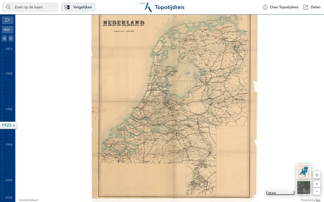 Netherlands of the day
A map of the Netherlands with a year slider, from Napoleonic-era surveys in 1815 to aerial photos of the 2020s. Watch sea turn into polder and villages into cities.
03
One country, two centuries: a year slider from 1815 surveys to aerial photos of the 2020s. Watch sea turn into polder.
More about this find →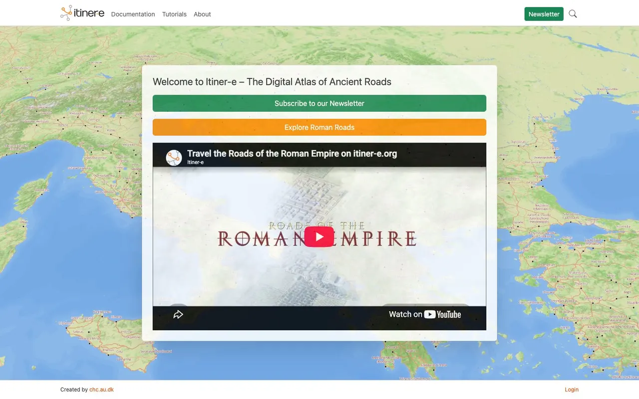 Site of the day
The most detailed open atlas of Roman roads: an interactive map of the whole empire where you can plot a route like an ancient traveler. A research project that's free to explore.
04
Not an old map but a map of the old world: the most detailed open atlas of Roman roads, where you can plot a route the way an ancient traveller would.
More about this find →