 Netherlands of the day
topotijdreis.nlmixNetherlands
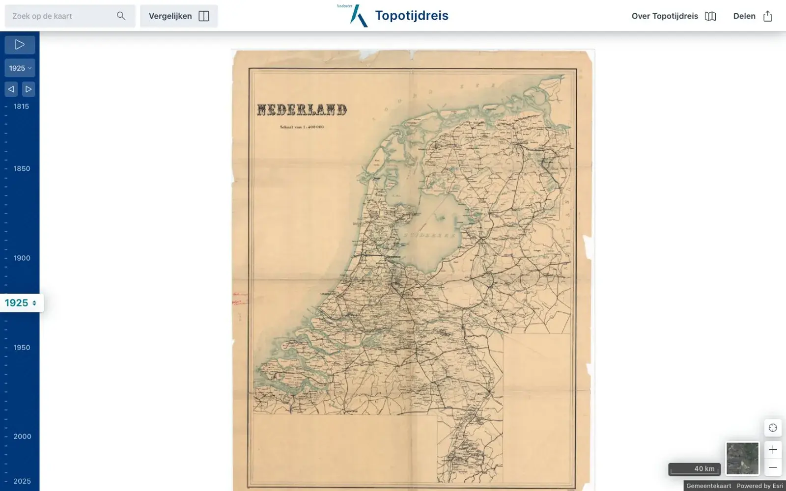
Topotijdreis: 200 years of Dutch maps
A map of the Netherlands with a year slider, from Napoleonic-era surveys in 1815 to aerial photos of the 2020s. Watch sea turn into polder and villages into cities.